Past Event
GIS Applications in Public Health
About the Speaker
Dr Janey Messina
 Janey joined the School of Geography and the Environment in December 2016, with a joint appointment in the Oxford School of Global and Area Studies. She has a BA (Geography, 2005) from the University of California, Los Angeles, an MS (Geography, 2008) from the University of Illinois at Urbana-Champaign, and a PhD (Geography, 2011) from the University of North Carolina - Chapel Hill. Her doctoral research focused on the geography and epidemiology of HIV, malaria, and anaemia in the Democratic Republic of Congo. At UNC, Janey was also a trainee at the Carolina Population Center, where she received formal training in demographic and epidemiological methods.
Janey has been at the University of Oxford since 2012, where she previously worked as a senior postdoctoral researcher with the Spatial Epidemiology and Ecology Group in the Department of Zoology. She coordinated the group's contribution to the International Research Consortium on Dengue Risk Assessment, Management and Surveillance, focusing her research on global patterns and drivers of dengue virus transmission, as well as potential changes in the landscape and epidemiology of the disease resulting from factors such as urbanisation, climate change and economic shifts. In addition to this primary research, Janey led or contributed to research projects relating to the geography of several other diseases, including Zika virus, Leishmaniasis, Plasmodium vivax malaria, Crimean-Congo hemorrhagic fever, and Hepatitis C virus.
ABSTRACT
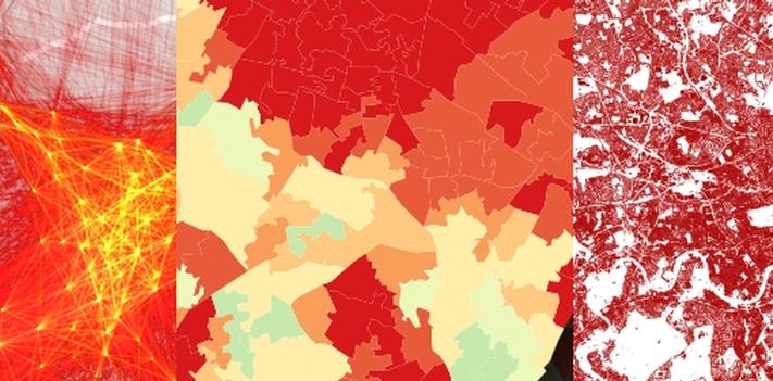
Geospatial data - that is, any data that has a plottable or mappable geographic component - have revolutionized our view of physical and human processes from local to global scales. A GIS (Geographic Information System) is a computer-based means of storing, analysing, displaying, and managing theses data. A single map can convey information, but a GIS is more than just a means of creating maps; rather, it is a powerful tool for revealing and examining how geographic relationships affect the world around us, and for solving real-world problems where location and spatial relationships are of importance. As such, public health scientists and practitioners are increasingly turning to GIS applications for research, planning, and disease management purposes. This talk will provide an overview of the fundamentals of GIS and applications in public health, with research examples across multiple scales and diseases
This event is part of a seminar series:
Trinity 2019 Seminar Series: Qualitative & Quantitative Methods for Big Data: A journey through social, medical and natural sciences
Trinity Term 2019 Seminar Series Qualitative & Quantitative Methods for Big Data: A journey through social, medical and natural sciences Seminar Room: 66 Banbury Road, Oxford OX2 6PR Convener: Dr Sara Zella
Event Details
09 May 2019 14:00 - 15:30
Location
Oxford Institute of Population Ageing
66 Banbury Road, Oxford, OX2 6PR